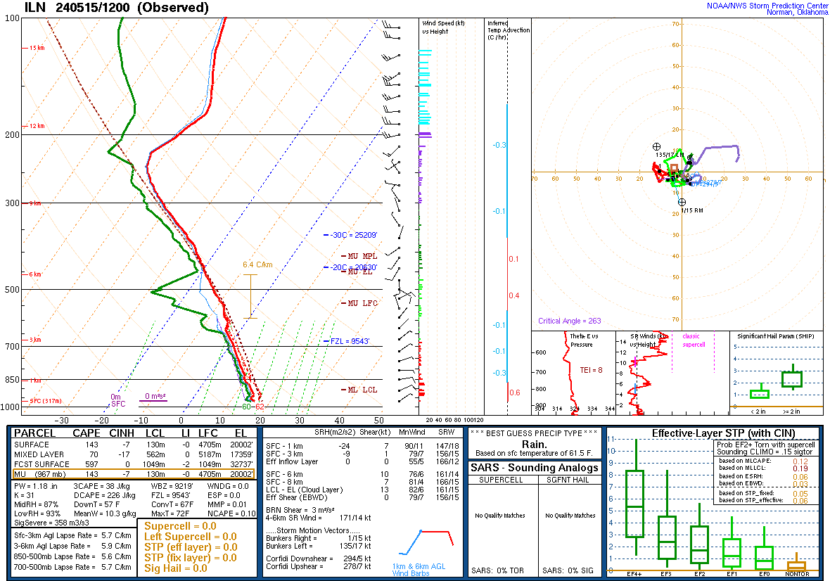
          FXUS61 KILN 260739
          AFDILN

          AREA FORECAST DISCUSSION
          National Weather Service Wilmington OH
          339 AM EDT Fri Apr 26 2024

          .SYNOPSIS...
          High pressure will shift to the east coast with a warm front
          lifting north through the area tonight. Precipitation chances
          will develop this afternoon, and increase tonight as the warm
          front moves through the region. Warm temperatures in store for
          Ohio Valley this weekend with mainly dry weather conditions. The
          threat for showers and thunderstorms returns Monday as a cold
          front approaches from the west.

          &&

          .NEAR TERM /UNTIL 6 PM THIS EVENING/...
          Large area of surface high pressure centered over southeast
          Canada to shift off to the east coast today.

          High level clouds spilling over upstream mid/upper level ridge
          will be thickest over the southwest this morning. Where mostly
          clear skies will be observed over the northeast - temperatures
          will drop to lows in the mid and mid 30s. Frost development will
          be possible over the northeast and have continued frost
          advisory thru 9 AM.

          Upstream mid level ridge axis to build east across the area
          today with southwesterly flow developing on its back side.
          Moisture to increase with a band of showers (with possibly some
          embedded thunderstorms) moving into the area late in the
          afternoon and into the evening. Have limited pops to chance
          category thru the daylight hours.

          Temperatures to warm up today prior to thicker clouds and pcpn
          moving in during the late afternoon. Highs to range from the
          upper 60s northwest to the to upper 70s southeast.

          &&

          .SHORT TERM /6 PM THIS EVENING THROUGH 6 PM SATURDAY/...
          Band of showers and embedded thunderstorms to pivot northeast
          thru the area this evening in a region of favorable low level
          theta-e advection. The best coverage of pcpn will occur across
          west central Ohio this evening where more favorable forcing will
          be located. Behind this initial band of showers, a chance for
          rain will continue but coverage will be more limited. Mild lows
          generally in the upper 50s.

          In warm sector the favorable forcing shifts to the north with
          pcpn chances diminishing by Saturday afternoon. Temperatures
          warm around 10 degrees above normal with highs on Saturday in
          the upper 70s to around 80. Breezy conditions develop with south
          winds gusting up to 35 mph.

          &&

          .LONG TERM /SATURDAY NIGHT THROUGH THURSDAY/...
          H5 ridge will be fairly expansive across the eastern CONUS to start
          the period. Further ridge amplification/height rises will occur on
          Sunday, promoting warmer daytime highs in the low to mid 80s. Some
          weak instability will be present in this warm/humid air mass, but no
          synoptic forcing will really be present. However, will have to see
          if CAMs try to initialize any pcpn that would be diurnally driven.

          Ridge axis nudges eastward on Monday, with a shortwave trough
          working its way through the Midwest region. Clouds increase from the
          west throughout the day, with PoPs increasing substantially Monday
          night into Tuesday. QPF footprint not overly impressive with this
          system given the progressive nature of the shortwave trough and
          associated surface cold front. Weak cold front swings through early
          on Tuesday, moderating temperatures slightly. Most of the CWA will
          still observe daytime highs in the middle 70s to near 80.

          Weak ridging returns on Wednesday, keeping an unstable air mass in
          place across the region. This will provide at least a chance of PoPs
          across the Ohio Valley. Another shortwave trough will begin carving
          its way through the Upper Plains on Thursday, which will eventually
          work its way into our region. This will increase chances for
          showers/storms in our fa.

          &&

          .AVIATION /07Z FRIDAY THROUGH TUESDAY/...
          High level clouds to continue to spill into the area today
          as a mid level ridge builds across the area. As the ridge axis
          shifts to the east moisture will increase late in the day into
          this evening.

          Clouds will thicken and lower while ceilings remain VFR this
          afternoon as the mid level ridge axis shifts east and the flow
          backs southwesterly.

          The favorable lift will results in a band of showers and
          embedded thunderstorms that pivots north thru the area late in
          the day into this evening. Have a mention of VCSH for this pcpn
          band but brief MVFR conditions will be possible in rain showers.

          East winds at 10 kts or less early will become southeast at 10
          to 15 kts this afternoon with gusts up to 20 kts.

          OUTLOOK...MVFR conditions are possible on Saturday.
          Thunderstorms are possible Monday night into Tuesday.

          &&

          .ILN WATCHES/WARNINGS/ADVISORIES...
          OH...Frost Advisory until 9 AM EDT this morning for OHZ026-034-035-
               043>046-052>056-063>065-073-074.
          KY...None.
          IN...None.

          &&

          $$
          SYNOPSIS...AR
          NEAR TERM...AR
          SHORT TERM...AR
          LONG TERM...Clark
          AVIATION...AR

